When it comes to scientific research and land management, the United States Geological Survey (USGS) has been a trailblazer in harnessing the power of uncrewed aircraft systems (UAS) for data collection and workflow integration. Lance Brady, Former Chief of the USGS National Uncrewed Systems Office (NUSO), whose unique blend of experience in aviation, geography, and land management, was instrumental in shaping this groundbreaking UAS program. In a presentation provided at the UAS Geosciences 2024 Conference, Brady outlined USGS’s journey in UAS utilization for science. These real-world success stories and lessons learned not only set a benchmark, but also provide a guide for other government agencies worldwide to follow.
USGS: Spearheading Scientific Innovation
As the primary scientific agency within the Department of Interior (DOI), the USGS plays a crucial role in providing scientific data and analysis. Unlike other agencies which focus on land management, the USGS’s mission centers on science.
The agency’s services extend far beyond the DOI. USGS supports federal bureaus, state agencies, and research universities across the nation. This broad reach underscores the significance of the USGS’s role in advancing scientific research and informing policy decisions on a national scale.

Pioneering UAS Integration in Government Research
The USGS’s journey with UAS technology began long before its official program launch. As early as the 1990s, the DOI started experimenting with remote-controlled aircraft for scientific missions.
However, it was not until the 2005-2006 timeframe, that the USGS achieved a significant milestone with UAS in its research efforts when it flew a Silver Fox UAS over Mount Saint Helens. This groundbreaking flight only demonstrated the immense potential of these systems for scientific research and paved the way for the establishment of the USGS National Unmanned Aircraft Systems Project Office in 2008 (now the National Uncrewed Systems Office or NUSO).
It also launched a new era in data collection for the agency. Since then, the USGS has found numerous innovative applications for UAS technology across various scientific disciplines and endeavors.
Understanding Water and Snow Risks
In hydrological studies, Brady’s team and their collaborators use UAS equipped with lidar and ground penetrating radar (GPR) for bathymetry work and snow/ice surveys. This provides crucial data for understanding water resources and avalanche risks.
Monitoring the Environment
USGS has enhanced environmental monitoring using UAS. Its collaborations with the Environmental Protection Agency (EPA) have led to the development of the Kolibri System, a particle sampler used for air quality monitoring during events like prescribed burns and oil spills.
Tracking Wildlife
For wildlife tracking, the agency uses UAS to detect telemetry tags on fish and terrestrial mammals. This provides a much less invasive method for wildlife studies than traditional methods which require researchers to physically approach or capture animals to obtain data.
Managing Wildfires
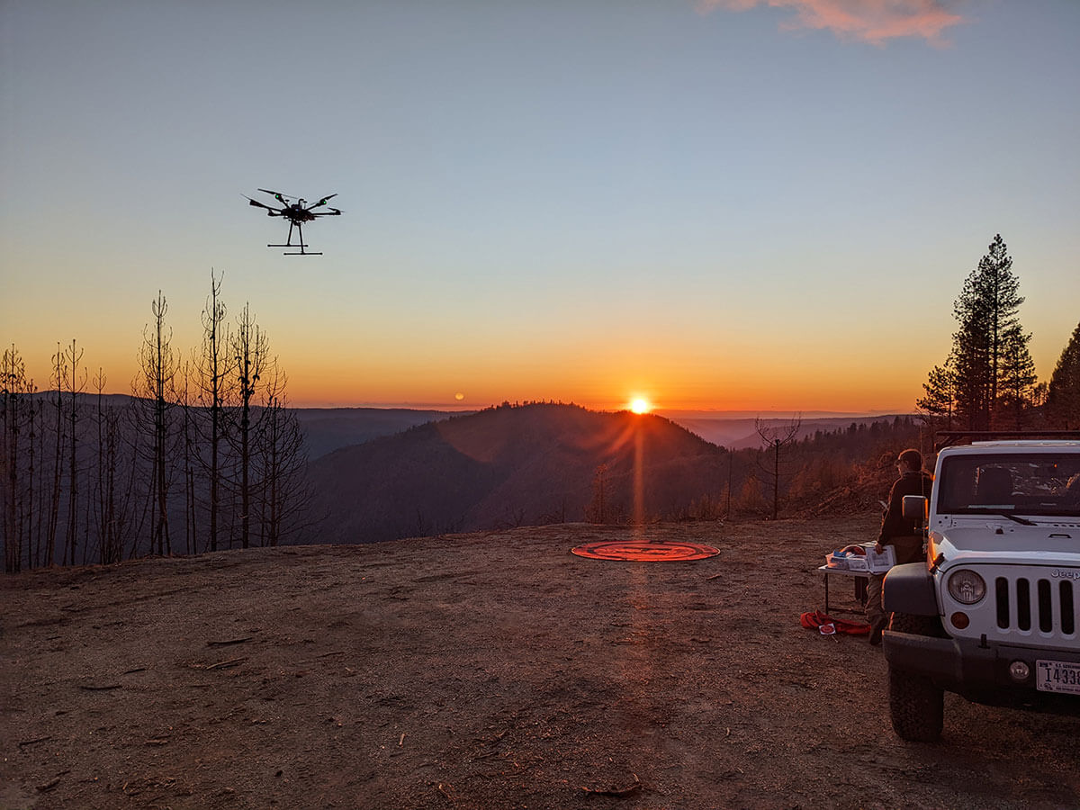
As the U.S. continues to face catastrophic wildfires each year, the application of UAS in wildfire management has been particularly impactful. USGS employs its systems to assess burn severity and refine fuel models. This enhances the understanding and management of wildfires.
Discovering the Past
In the field of archaeology, UAS surveys at White Sands National Park are supporting the documentation of early human presence in North America. This has pushed back the timeline of human occupation by several thousand years.
Responding to Natural Disasters
The agility and rapid deployment capabilities of UAS have made them invaluable tools in natural hazard response and disaster management. The 2018 Kīlauea volcano eruption in Hawaii serves as a prime example. During that incident, the USGS quickly mobilized UAS equipped with video cameras and specialized gas sensors to monitor volcanic emissions. This real-time data collection provided critical information for emergency responders and local authorities and demonstrated the effectiveness of UAS in crisis situations.
Preserving Cultural Heritage
Beyond scientific research, the USGS has employed UAS in preserving and documenting cultural heritage sites. Notable projects include 3D scanning of the Perry’s Victory and International Peace Memorial. These high-resolution scans provided valuable data for conservation efforts and created detailed digital records of an important monument.
These use cases reflect just a few highlights of the USGS UAS program.

The Secret To Success: Policies, Technologies and Training
How can USGS successfully pull off all of these missions? Brady outlined the technologies and processes his team put into place.
Navigating Complex Regulatory Landscapes
Operating a UAS program within a government agency comes with its own set of challenges, particularly in terms of regulatory compliance. The USGS UAS program operates within a complex framework of regulations and policies. Its operations must adhere not only to Federal Aviation Administration (FAA) regulations but also policies from the DOI’s Office of Aviation Services, which oversees policies for both crewed and uncrewed aircraft operations across all its bureaus.
To comply with these requirements, the USGS itself has developed its own aviation plan. Tailored to the specific needs and missions of the agency, this plan harmonizes with the broader DOI aviation strategy while providing agency specific requirements for scientific research and data collection.
Keeping Pace With Evolving UAS Platforms
Just as regulations change, so too does UAS technology – and usually at a faster pace. The USGS has to continuously adapt to technological advancements. In fact, its UAS program has already evolved through four generations of aircraft to stay at the cutting edge of technology and regulatory requirements.
In recent years, technology and regulation directly collided over Chinese-made components in government UAS platforms. The National Defense Authorization Act of 2024 and the American Security Drone Act have set a deadline of December 2025 for transitioning away from Chinese systems. As a result, the USGS is currently in the process of acquiring new NDAA compliant platforms.
Leveraging Cutting-Edge Sensors
Along with the leading drone hardware, the USGS employs a wide array of sensor technologies in its UAS operations to push the boundaries of what’s possible in aerial data collection. These advanced sensors include lidar for creating high-resolution 3D maps and surveying ice/snow, multispectral and hyperspectral sensors for detailed vegetation and geological studies, magnetometers for geological surveys, thermal for studying water exchange and gas sensors for monitoring atmospheric conditions. For example, the agency’s rapid deployment of UAS equipped with gas sensors to monitor volcanic emissions 2018 Kīlauea volcanic eruption in Hawaii (discussed above) provides one notable demonstration of how USGS’s sensor integration capabilities positively affected real-world disaster response efforts.
Elevating UAS Pilot Expertise Through Comprehensive Training
Deploying expensive UAS with top tier sensors for the complex operations requires world class pilots. Brady noted that the USGS takes UAS pilot training seriously by “going above and beyond basic FAA requirements.” All his pilots must have their Part 107 certification, “but this is just the starting point.”
The NUSO has developed a comprehensive training program that includes:
- Basic Small UAS Course (A-450): covers both practical skills and theoretical knowledge, including DOI policies.
- Interagency Aviation Training Program: contains aspects relevant to both crewed and uncrewed aircraft operations.
- Strict Proficiency and Currency Requirements: pilots are required to fly every 90 days and attend DOI Remote Pilot Refresher Training every two years.
- Advanced Specialized Training: in areas such as photogrammetry and lidar enhance pilots’ skills in data collection and analysis.
This rigorous training regime ensures that USGS UAS pilots are among the most skilled and knowledgeable in the field, capable of handling complex missions and collecting high-quality scientific data.
Managing Data to Empower Decision-Making
To manage and disseminate the vast amounts of data these expert pilots collect through UAS operations, the USGS has developed a comprehensive system. The agency provides access to various UAS data products and resources through its website, uas.usgs.gov. This platform serves as a valuable resource for researchers, policymakers and the general public to offer insights into the diverse applications of UAS technology in scientific research and land management.
Future Horizons: Continuing to Expand the Frontiers of UAS Technology
As UAS technology continues to evolve, the USGS continues to explore new platforms and applications. Brady explained that current areas of interest include autonomous drone operations for bridge inspections, satellite calibration using UAS, advanced carbon sequestration and methane emission studies and the integration of artificial intelligence and machine learning in data analysis. These emerging areas of research promise to further expand the capabilities of UAS in scientific research and environmental monitoring and cement the USGS’s position as a leader in the field.
As the USGS continues to push the boundaries of UAS technology in scientific research and land management, it sets a powerful example for other government agencies worldwide. It leverages cutting-edge technology, emphasizes regulatory compliance and advanced pilot training and fosters collaborations that not only enhance our understanding of the natural world but also provide crucial data for informed decision-making in resource management and environmental protection.
The USGS UAS program stands as exemplar as to how other government agencies can leverage UAS technology, with vision and expertise, to elevate the precision and scope of scientific data collection to new heights.
By: Dawn Zoldi