The geospatial industry continues to evolve, with applications in markets that extend well beyond traditional mapping and navigation. At the recent GeoBuiz 2025 conference, industry leaders gathered to discuss the collective and collaborative value of geospatial technology in shaping the world’s society, economy and environment. Across multiple panels at this three-day event, prominent figures from various sectors highlighted the industry’s pivotal role in addressing global challenges and driving positive change for the planet. In this article, we highlight just a few.
Driving Autonomous Systems (And Games!)
The geospatial industry has made remarkable strides in navigation that helps to (literally) drive autonomous systems. Key players like TomTom and Niantic have led the way in this space.
Crowd-Sourced Maps
Niantic, the company behind Pokémon GO has taken an innovative approach to mapping and geospatial data collection that leverages its massive player base to generate visual positioning systems. These inform sophisticated mapping solutions which account for the dynamic nature of the Earth’s surface.
Brian McClendon, Niantic’s Senior Vice President of Engineering, explained the rationale behind his company’s tech, “(a certain app) basically…projected everything into one coordinate system. And that doesn’t work. …the world’s moving… and we have to respect that when we get down to the centimeter level.” McClendon said that Niantic has instead chosen to build its mapping solutions “from the ground up.”
To do this, Niantic crowd-sources data that incorporates voluntary player-submitted scans of real-world locations to build its detailed 3D maps. This provides a unique pedestrian-level view of the real world, on which Niantic then trains its more 50 million neural networks that contain over 150 trillion parameters. Its Large Geospatial Model (LGM) aims to enable computers to perceive, understand and interact with physical spaces in new ways. This technology’s use extends well beyond gaming to fields such as autonomous systems and robotics, among others.
Advanced Navigation
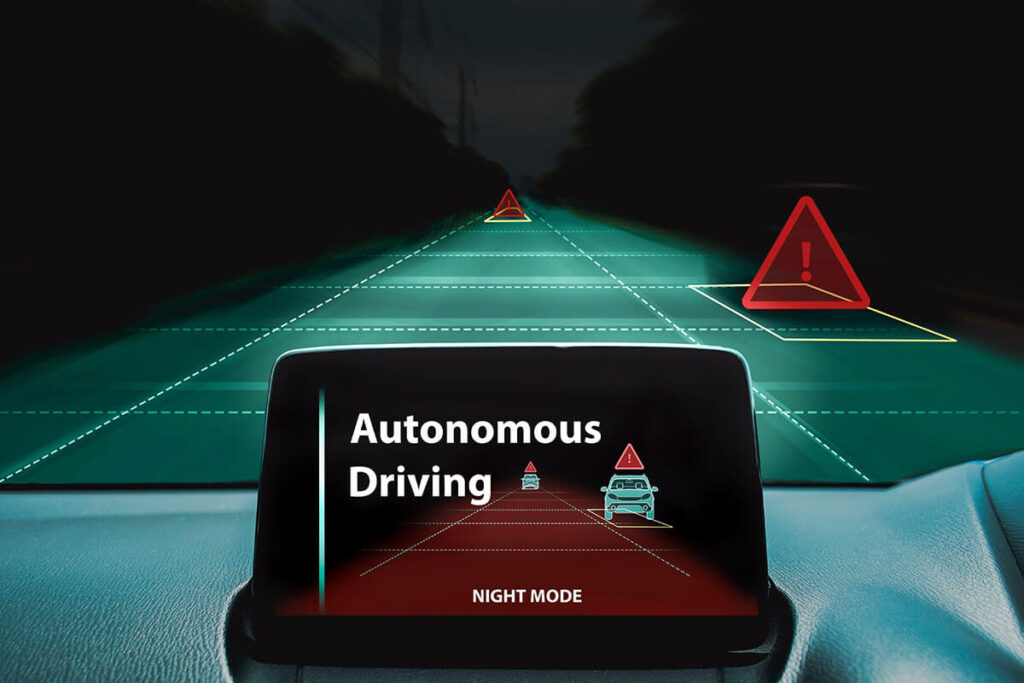
TomTom, whose offerings have become a foundation for vehicle navigation systems worldwide, also provides a crucial foundation for autonomous navigation. Its highly detailed, accurate and up-to-date mapping data, when combined with advanced features, supports various levels of autonomous driving.
According to CEO Harold Goddijn, his company has come a long way from its original consulting model. Now, among other things, TomTom’s HD Maps provide an extremely detailed and accurate representation of the road environment, essential for autonomous vehicles. Features include: centimeter-level accuracy (up to 25 cm precision), 3D geometry of the road and surroundings and detailed information on lane markings, traffic signs, and other road elements.
Add to this the company’s AutoStream, a map delivery service that enables vehicles to build a horizon for the road ahead by streaming the latest map data from the TomTom cloud and you can appreciate how TomTom continues to pave the way for road autonomy.

Enhancing National Security (And Commercial Business!)
The integration of geospatial technology into national security operations has become increasingly significant in recent years. Most of this technology, with unique capabilities to enhance data collection, analysis and decision-making processes, serves as a critical tool not just for government agencies, but also for commercial enterprises.
Dual Use Missions
Dan Smoot, CEO of Maxar Technologies, highlighted the dual nature of commercial geospatial companies such as his, which supply sensitive geospatial data. Maxar has focused on developing advanced capabilities that have allowed the company to shift from traditional mapping to a more dynamic, task-based approach to rapidly identify and respond to changes on the ground.
Maxar created what Smoot referred to as a “virtual constellation of satellites” as well as the backend tech to integrate data from multiple sources. This approach allows for more frequent and comprehensive Earth observation. This improves decision making through rapid change detection, object recognition and predictive analytics.
These functions have obvious applications in the national security arena (which, for obvious reasons, we can’t discuss openly), as well as across various industries from urban planning and environmental monitoring to market analysis and logistics optimization.
Smoot also emphasized the value of geospatial technology in addressing global challenges that impact national security, such as climate change and natural disasters. During the recent California wildfires, Maxar supplied free imagery to first responders. Which leads to the next use case…

Responding to Disasters (And Other Bad Things!)
The geospatial industry provides the tools and insights needed to understand and mitigate the human impact on the planet including climate change and the environmental degradation it causes.
U.S. Homeland Missions
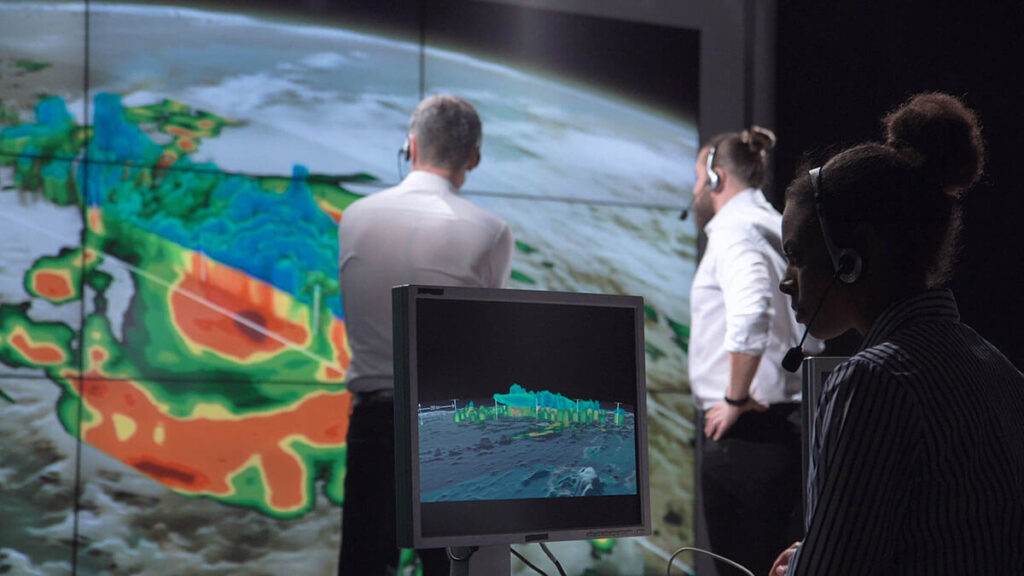
The U.S. Department of Homeland Security (DHS) leverages geospatial knowledge infrastructure (GKI) to prepare for and respond to a wide range of national emergencies, both natural and manmade.
DHS’s mission encompasses six core areas: preventing terrorism, managing borders, administering immigration laws, securing cyberspace and infrastructure, ensuring disaster resilience and combating human exploitation and trafficking. Geospatial technology supports all these missions in different ways. David Alexander, Senior Science Advisor for Resilience at DHS, emphasized the critical role of geospatial technology across the department’s core missions, from enhancing situational awareness to facilitating search and rescue operations and conducting damage assessments in the aftermath of disasters:
- Enhanced Situational Awareness: GKI provides a common operating picture for decision-makers and first responders. This allows for more effective coordination across all emergencies.
- Human Trafficking Support: Geospatial data aids in combating human trafficking and exploitation. Alexander noted that the Homeland Security Investigations unit, which addresses these crimes, uses digital forensics driven by the geospatial ecosystem to support its investigations.
- Maritime Security: DHS uses GKI to manage trade flows, detect vessels and interdict contraband, especially in challenging environments like the Arctic.
- First Responder Safety: Geospatial technology enhances first responder safety in a number of ways. Alexander noted that geospatial information and technology helps first responders to navigate damaged structures more safely as well as conduct and manage operations that facilitate the recovery of survivors.
- Search and Rescue Optimization: Advanced geospatial tools assist in pinpointing missing persons, even in harsh environments. Alexander described how DHS has leveraged geospatial and other technology that allows DHS to detect heartbeats. This enables responders to pinpoint exactly where to look for survivors who can still be saved and optimize limited resources during search and rescue operations.
- Damage Assessments: GKI facilitates rapid and accurate damage assessments following disasters. This also helps to prioritize response efforts and allocate resources effectively.
Asia and Beyond
Japan-based Synspective’s constellation of Synthetic Aperture Radar (SAR) satellites provides Earth observation across multiple use cases, including disaster response.
According to Synspective CEO Motoyuki Arai, “Our technology allows us to capture detailed imagery of the Earth’s surface regardless of weather conditions or time of day.” He continued, “This capability is invaluable for disaster response, infrastructure management and even national security applications.”
Synspective’s recent achievements include the launch of its fifth SAR satellite and a significant funding round to expand its constellation. “We’re not just building satellites,” Arai said. “We’re creating a new infrastructure for understanding our planet in near real-time. Which leads to our final point…
Connecting and Bettering the World
The geospatial industry does not just collect data; it helps us to integrate and apply that knowledge to virtually every human activity. Jack Dangermond, President of Esri, noted, “We are syncing everything on the planet,” Dangermond said. “Geography organizes everything we know—all our experiences,” he continued. “This magical word ‘where’ is an extraordinary word because it connects all of humanity to all of science. The where is a powerful thing. It’s your bridge to everyone else on the planet. It helps us see the world in interconnected ways.”
Dangermond envisions a future where geospatial data will play an even more significant role in how we manage, see and communicate about our world. Goddijn believes that the next hundred years will bring even more rapid developments than the past century, driven by software advancements and societal requirements. Smoot noted that global challenges, adversaries and competitive pressure within industry will accelerate these advancements to help us solve critical problems for the betterment of our nation and the world.
Looking to the future, we should expect the continued growth and importance of the geospatial industry. After all, geospatial technology does not just impact specific use cases like the ones here – it truly connects all of us all.
By: Dawn Zoldi

