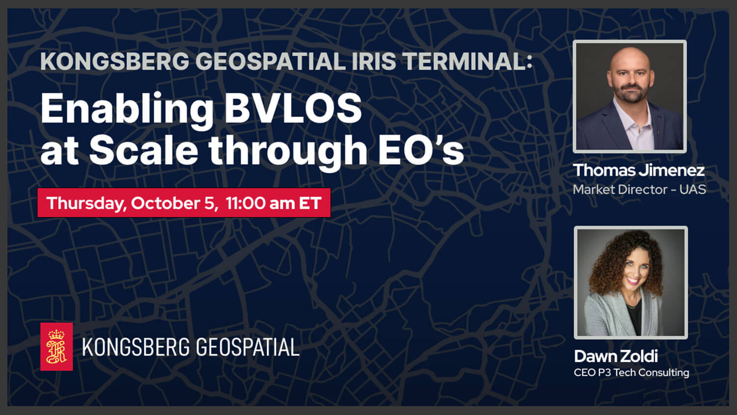
Kongsberg Geospatial IRIS Terminal: Enabling BVLOS at Scale through EO’s

Kongsberg Geospatial IRIS Terminal: Enabling BVLOS at Scale through EO’s

Discover IRIS Terminal by Kongsberg Geospatial – the premier airspace visualization tool for professional drone and UAS Test range operators. By seamlessly integrating inputs from all sensors, feeds, and telemetry into a user-friendly UI, it simplifies the operator’s experience, enhancing focus on airspace deconfliction and unmanned operation management.

  • 🚀 IRIS Terminal: Ultimate Airspace Visualization for Drone Ops
  • 🌐 All-in-One UI: Sensors, Feeds & Telemetry Integration
  • 🛰️ Pro Choice for UAS Test Ranges & BVLOS Operations
  • 🔍 Simplify Airspace Deconfliction & Mission Management
  • Featuring:
    Real-time 3D Airspace Awareness
    Multi-Sensor Compatibility
    Conflict Warning Algorithms
  • Learn how IRIS Terminal:
    Reduces cognitive load for operators
    Enhances situational awareness
    Adapts to evolving regulatory needs
  • Category: Products & Services
  • Duration: 38:35
  • Tags: #DroneOperations, #AirspaceManagement, #UASTestRange, #BVLOSTechnology

Project ULTRA at GrandSKY

  • Category: Products & Services
  • Duration: 46:56

Mark43 World Premiere: The Public Safety Platform of the 21st Century

  • Category: Products & Services
  • Duration: 45:06

Airspace Link – AirHub Portal World Premiere

  • Category: Products & Services
  • Duration: 42:15

EnforceAir2: Next-Gen C-UAS

  • Category: Products & Services
  • Duration: 30:45

Introducing Valmiz Augmentive AI

  • Category: Products & Services
  • Duration: 35:51

Multiband Mesh Radios for Robots and More

  • Category: Products & Services
  • Duration: 33:00